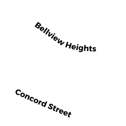
10 BELLVIEW HEIGHTS
Owner Information
RUSSELL TOBI JACKOWITZ
10 BELLVIEW HEIGHTS
ASHLAND, MA 01721


Property Details
10 BELLVIEW HEIGHTS is classified as a Single Family Residential (Cl).
The primary structure on this property was built in 1996. There are 948ft2 of built area within this property. There is 1,808ft2 of residential/living space within this property. This property is listed as having 7 rooms.
10 BELLVIEW HEIGHTS is valued at $528,000. The land is valued at $238,400 and the structures are valued at $289,600.
This property is in Zone R1. Confirm with local Zoning Board authorities to ensure there are no overlays or other easements on this property.
The most recent deed for 10 BELLVIEW HEIGHTS is recorded at the local registrar in Book 45048, Page 0116. 10 BELLVIEW HEIGHTS was last sold on Monday, April 25, 2005 for $134,000.
Assessment data from fiscal year 2022.
Flood Data
According to the FEMA National Flood Hazard Layer, this property does not appear to be in a flood zone. It may also be in an area not yet reviewed. Nonetheless, confirm this information prior to taking any action.
To view the flood hazards around this property, create a FEMA "Firmette" Map of the area around 10 BELLVIEW HEIGHTS.
Broadband Internet Providers
| Provider | Type | Bandwidth (mbps) | |
|---|---|---|---|
| GCI Communication Corp. | Satellite | 0 | 0 |
| Viasat Inc | Satellite | 100 | 3 |
| Verizon New England Inc. | Fiber | 940 | 880 |
| Comcast | Cable | 1000 | 35 |
| HughesNet | Satellite | 25 | 3 |
| VSAT Systems, LLC. | Satellite | 2 | 1 |
Broadband service provider data from December 2020.
Adjacent Properties
- 18 BELLVIEW HEIGHTS
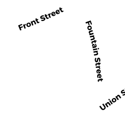
Single Family Residential owned by BAIDYA SACHIN - 38 FOUNTAIN ST
Single Family Residential owned by WILLMENT ANDREW - 184 CONCORD ST
Single Family Residential owned by ELWELL KEITH A - 30 FOUNTAIN ST
Single Family Residential owned by NECHEV VLADIMIR - 34 FOUNTAIN ST
Single Family Residential owned by CAMPBELL MICHAEL T